New 3D Geologic Models Published for GRAPS Pilot Project
The Minnesota Geological Survey has recently completed a two-year pilot project conducted by the Minnesota Department of Health's Groundwater Restoration and Protection Strategies (GRAPS) program designed to support watershed planning efforts in several watersheds across Minnesota.
Our goal was to provide a compilation of both surface and subsurface geologic data within selected Board of Water and Soil Resources One Watershed One Plan boundaries in a format suitable for both modelers and the general public. Seamless geologic products provided within the watersheds are based on a compilation of previously published MGS maps along with new mapping where necessary.
In year one (2021), compilations of the Zumbro River Watershed and St. Louis River Watershed were completed. Three additional compilations have now been completed in year two (2022) for the Cannon, Missouri, and Redeye River Watersheds.
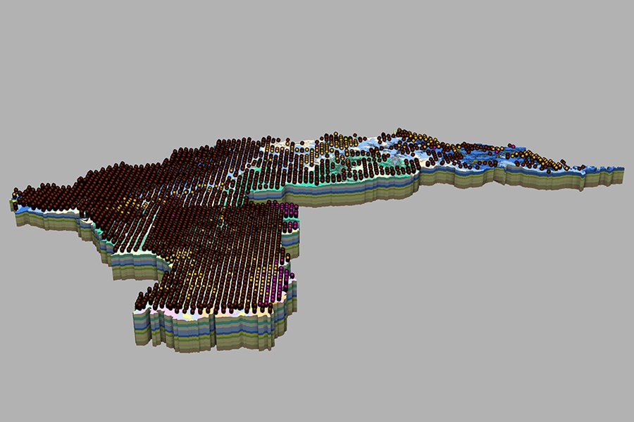
A report summarizing the compilation methods and limitations associated with the subsurface modeling processes, as well as downloadable GIS files, is available for each watershed project. Additionally, these products were transferred into standalon, web-based 3D models so they could be readily visualized and used outside of a GIS environment by water planners, other state agencies involved in the GRAPS process, and the public. Links to both the published report/GIS files and the web-based 3D models are provided below.
| Zumbro River Watershed | Report/GIS Files | Web-based 3D Model |
|---|---|---|
| St. Louis River Watershed | Report/GIS Files | Web-based 3D Model |
| Cannon River Watershed | Report/GIS Files | Web-based 3D Model |
|---|---|---|
| Missouri River Watershed | Report/GIS Files | Web-based 3D Model |
| Redeye River Watershed | Report/GIS Files | Web-based 3D Model |