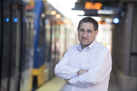
David Levinson: Access for all

Written by Eve Daniels
“One day, soon-ish, you will awake, give a voice command to a car, and never again touch a steering wheel, gears, accelerator or brakes. ...You will step into your car, tell it where to go, and not think about traffic. The window in front of you will be a heads up display giving you information and entertainment, while allowing you to see the road coming up.”
If you love to drive, you might find this excerpt from “The End of Traffic and the Future of Transport” unsettling. If you love your life, it’s hopeful. But the book’s co-author, David Levinson, believes a world of autonomous vehicles is inevitable—and he’s looking forward to it.
“If you live in a city, you’ll be able to summon a car in a few minutes, so you won’t need to own one. Single-passenger cars can be skinnier, lanes can shrink, and cars will be able to follow each other more closely. And we won’t consider time spent driving as onerous as we do today, since we can do work in motion,” Levinson said.
While robots are driving on the streets today, it will be a few decades before they replace all vehicles, and there are transportation problems that need attention now. So when he isn’t writing about the future, Levinson is informing decisions on how to solve today’s issues.
One of those issues is accessibility, or the ease of reaching our most valued destinations.
“Traditional transportation performance measures have looked at the speed of the network, but on its own, that doesn’t tell us very much,” said Levinson. “We always use the example of Manhattan, Kansas, versus Manhattan, New York. Obviously the network speeds in Kansas are higher than New York, but in 10 minutes I can reach a lot more jobs in New York than I can in Kansas."
"So it might be a lower speed, but much higher accessibility," he added.
One of Levinson’s latest projects, the National Accessibility Evaluation, will measure how many jobs you can reach in specific amounts of time, when traveling by car, bus, train, streetcar, bike, ferry, or foot. These measurements rely on existing schedule data from public transit agencies, bicycle and pedestrian network data from OpenStreetMap, and road network and speed profile data from TomTom.
Within the next year, the study will produce a heat map showing accessibility to jobs for the 11 million-plus census blocks in the United States. From there, urban planners, policymakers, and other stakeholders can evaluate their transportation networks like never before.
“We should be looking at policies and investments that maximize accessibility subject to their cost—maximize output, minimize input,” said Levinson, adding that jobs are the first criteria, but the analysis will expand to schools, hospitals, parks, restaurants, and other points of interest.
“Getting and presenting this information in a systematic way opens up a lot of opportunities on how investments are allocated,” said Levinson. “But knowing is the first step.”
