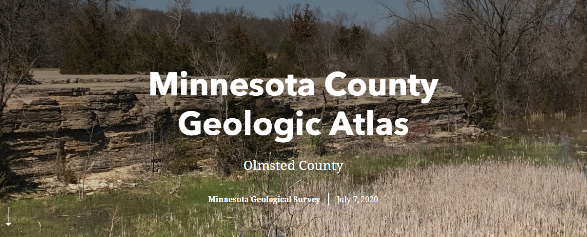
Minnesota County Geologic Atlas - Part A, Olmsted County

This is an example of the County Geologic Atlas program (Part A) that is run by the Minnesota Geological Survey. The atlas program provides information essential to sustainable management of groundwater resources, for applications such as monitoring, water allocation, permitting, remediation, and well construction. They define aquifer properties and boundaries, as well as the connection of aquifers to the land surface and to the surface-water resources. They also provide a broad range of information on county geology, mineral resources (including construction materials), and natural history.
In this story map we focus on Olmsted County. Each slide depicts a small, but valuable, portion of the data that are produced during an atlas project, which typically takes between three and four years to complete. Enjoy!