STATEMAP Program
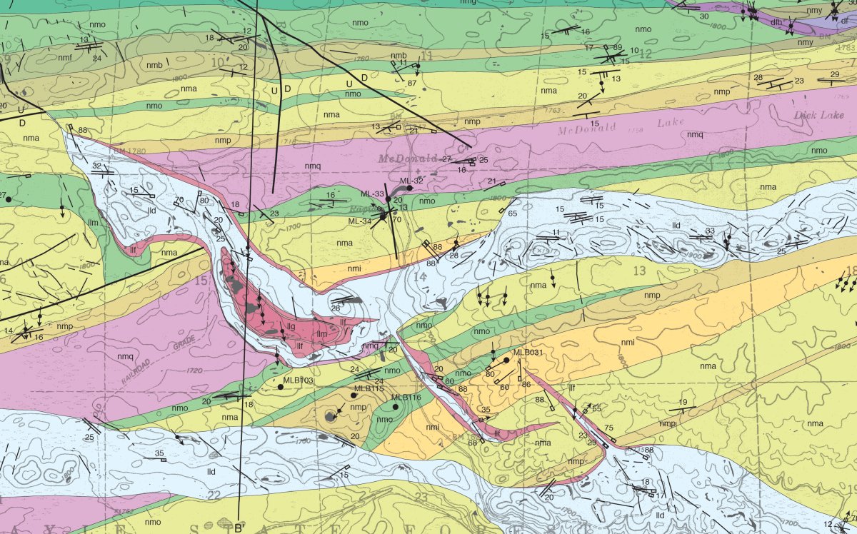
The objective of STATEMAP is to map areas vital to the economic, social, or scientific welfare of the state.
Each State Geologist determines the State's mapping priorities in consultation with a State Mapping Advisory Committee. These priorities are based on State requirements for geologic map information in areas of multiple-issue need or compelling single-issue need, and in areas where mapping is required to solve critical Earth science problems. Each STATEMAP project focuses on a specific area or issue. Although the individual projects last for only one year, they frequently build upon the results of previous years' mapping activities.
The Minnesota Geological Survey has partnered with the United States Geological Survey (USGS) through their cost-sharing STATEMAP program since 1993. STATEMAP is a component of the National Cooperative Geologic Mapping Program (NCGMP). The goal of NCGMP is to build a geologic framework of the nation via geologic mapping and associated databases. The STATEMAP component provides 1:1 federal cost-sharing for this work on a competitive grant basis.
