Steele County Atlas, Part A: Geology Published
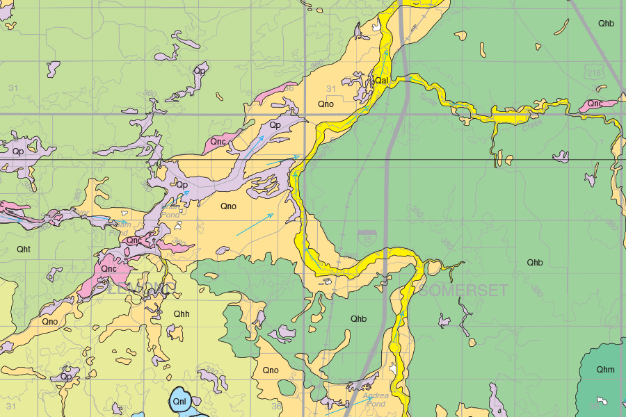
The Steele County Atlas, Part A: Geology was recently published by the Minnesota Geological Survey, with digital map plates (as PDFs) and GIS datasets now available online.
Read more about the Geologic Atlas of Steele County
County Atlases or County Geologic Atlases (CGAs) provide information essential to sustainable management of groundwater resources and provide a broad range of information on county geology, mineral resources (including construction materials), and natural history. CGAs consist of a Part A prepared by the Minnesota Geological Survey that includes geologic and borehole databases and 1:100,000-scale geologic maps, and a Part B prepared by the Minnesota Department of Natural Resources (MNDNR) that includes maps of water levels in aquifers, direction of groundwater flow, water chemistry, and sensitivity to pollution.
Read more about County Geologic Atlases
Partial funding for this project was provided by the Steele County Board of Commissioners and the Minnesota Environment and Natural Resources Trust Fund as recommended by the Legislative-Citizen Commission on Minnesota Resources (LCCMR), and the Minnesota's Clean Water Land & Legacy Amendment.