Subsurface Imaging and the Future of Geotechnical Site Investigation
A Warren Distinguished Lecture with
Joseph Vantassel
Civil and Environmental Engineering, Virginia Tech
Abstract
Traditional geotechnical site characterization relies on interpolating between limited 1D measurements of subsurface stratigraphy to develop 3D engineering models for design. The sparsity of traditional 1D geotechnical measurements presents challenges in geological settings with rapid spatial variation (e.g., alluvial deposits) and/or anomalies (e.g., karst formations). However, on-going efforts continue to show that non-invasive seismic imaging methods can be used as a cost-effective means of improving geotechnical site investigation. In this presentation, Vantassel includes recent work to improve seismic imaging techniques for the problem of near-surface (i.e., depths < 30 m) geotechnical site investigation. Specifically, work on improving uncertainty quantification and accelerating data-processing with artificial intelligence (AI). The presentation highlights the application of techniques including the horizontal-to-vertical spectral ratio (HVSR), multichannel analysis of surface waves (MASW), and full waveform inversion (FWI) to civil engineering challenges including post-disaster reconnaissance, seismic site characterization, and cryosphere monitoring.
Speaker
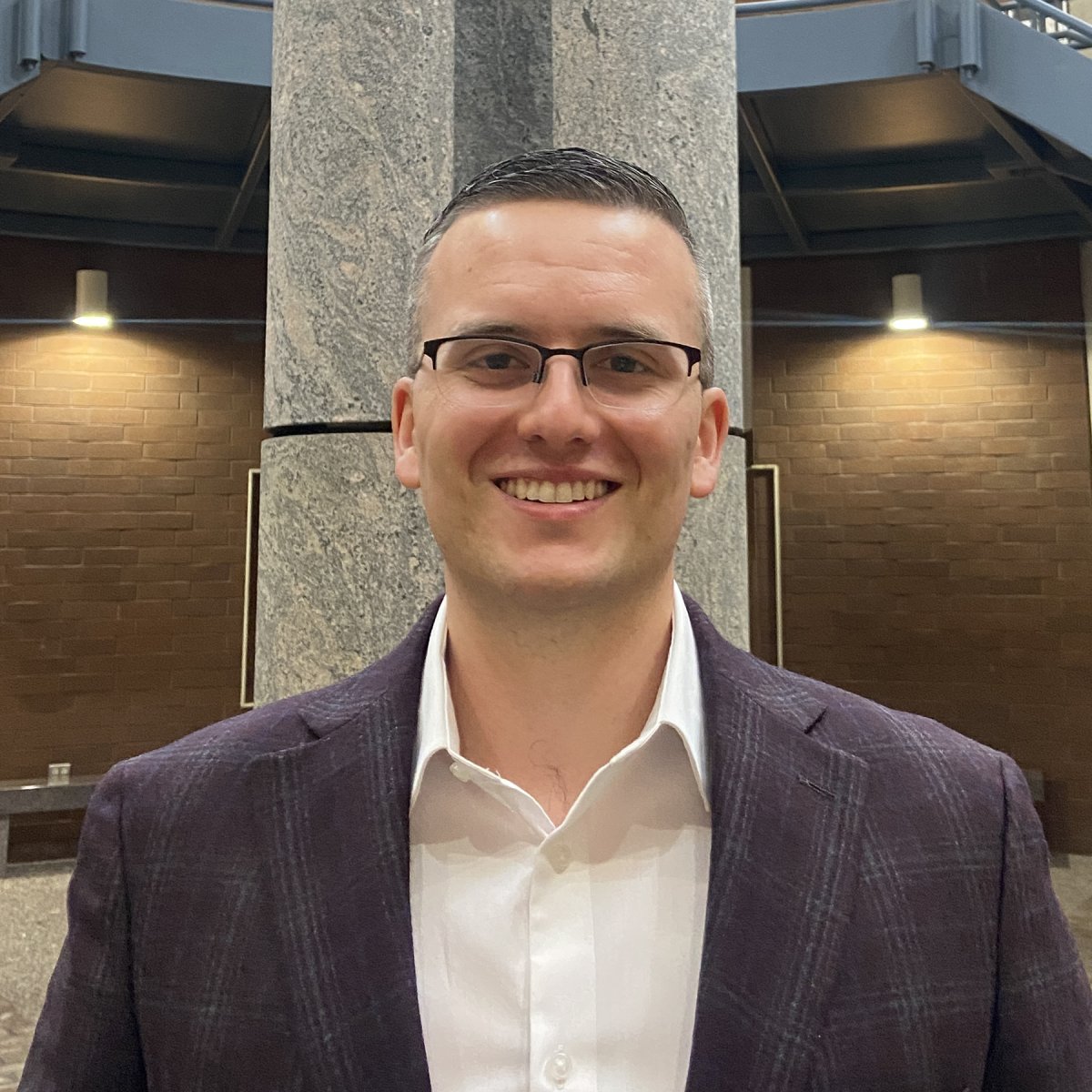
Dr. Joseph P. Vantassel earned his BS in Civil Engineering from Rensselaer Polytechnic Institute (RPI) in 2016. For his graduate studies, Dr. Vantassel attended The University of Texas at Austin, earning his MS in May of 2018 and Ph.D. in December of 2021 in Civil Engineering. His graduate studies focused on the intersection of geotechnical engineering, geophysics, and computer science. After earning his Ph.D., Vantassel worked as a Research Associate in the Data Intensive Computing Group at the Texas Advanced Computing Center (TACC) until fall 2023. Dr. Vantassel is currently an Assistant Professor of Geotechnical Engineering in the Department of Civil and Environmental Engineering at Virginia Tech. He leads a group focused on advancing subsurface imaging toward more-robust and uncertainty-aware solutions through the intersection of field experiments, numerical simulation, artificial-intelligence, and high-performance computing.
