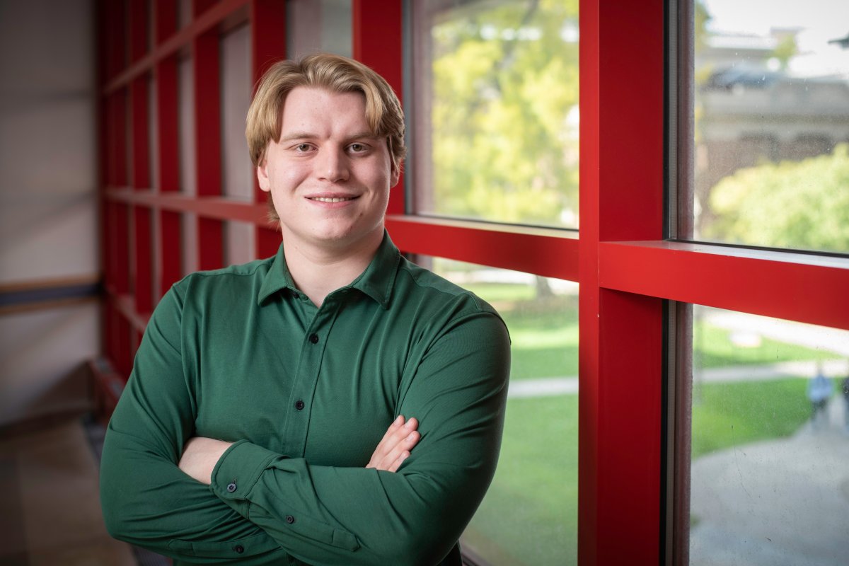
CS&E Undergraduate Rhett Olson Wins Student Research Competition at ACM SIGSPATIAL

Department of Computer Science & Engineering (CS&E) undergraduate student Rhett Olson won the undergraduate track student research competition Association for Computing Machinery (ACM) International Conference on Advances in Geographic Information Systems (SIGSPATIAL) in Germany. Olson presented his work on a query system that can retrieve maps of a given place that display when all of the different names for that place have been used throughout its history. CS&E Ph.D. student Jina Kim also won the graduate track award at ACM SIGSPATIAL.
“The problem is that the existing methods for historians to see these name changes relied on individuals spending a lot of time searching on maps to find what they're interested in,” said Olson. “My system can search for the place you're interested in and pull a bunch of maps of the specific place that you're looking at so you can see how the name and features of the map have changed over time.”
Olson started his research after taking CSCI-3901, Introduction to Undergraduate Research in Computer Science with Teaching Professor Shana Watters. His love of maps and history inspired his project topic.
“That class specifically was very instrumental in getting me into research in general,” said Olson. “I was also taking CSCI-3081, Program Design and Development. That helped me feel confident building the query system for the conference. It was a larger product than anything I’ve done before. It showed me a way that would make it easier on me, an easier way to build, an easier way to extend, and give me confidence in undertaking a much larger project than I've done before.”
During his time in CSCI-3901, Olson got connected to Kim, a CS&E Ph.D. student working with Associate Professor Yao-Yi Chiang. Kim was instrumental in Olson’s work and was a consistent collaborator throughout his project.
“I am so grateful for Jina Kim,” said Olson. “She has been a great help with generating ideas and guiding me through the process. Professor Yao-Yi Chiang also helped me get my paper ready for the conference and helped me navigate the research process. Finally, Shana Watters helped me get into research in the first place, helped me stay accountable for my goals, and ensured that I made progress toward my goals.”
Olson hopes that his query system will improve our knowledge of when different place names were in use, by generating a timeline of dates in which each name is found on historical maps. In the future, Olson hopes to extend his query system to also capture place names that are multiple-word phrases (e.g. United States of America, Democratic Republic of the Congo). The challenge with recognizing these names is that map text is often very dense and irregularly laid out, so recognizing when words are part of a larger phrase is difficult. For example, these phrases could be oriented
“The problem is that the existing methods for historians to see these name changes relied on them spending a lot of time searching on maps to find what they're interested in,” said Olson. “What I wanted to do with this project was to search for the place you're interested in and be shown a bunch of maps already of the specific place that you're looking at, you can see over time how the name changes and also how the place changes such as other features of the map that have changed over time. “
Olson’s trip to ACM SIGSPATIAL in Germany was made possible in part by Dr. Thomas Niccum and the Nancy Dowling Travel Award Fund. This fund sponsors students traveling for academic and research conferences.
“Earning this award means a lot to me, as it has freed me up to focus on my research and preparation for my presentation without needing to stress as much about the financial cost of traveling to the conference,” said Olson. “As someone who's never traveled overseas before, it means a lot for this grant to give me access to this exciting opportunity to see more of the world and learn from leading experts in the field of geographic information systems.”
Olson is hoping to further improve his research by learning the past names of many places and what year these places changed names to be able to use multiple different place names, from past and present names to predict a time range of when a historical map was created.
“If we combine a bunch of these name changes, for example, to combine it with the fact that we see the USSR is still on the map,” said Olson “The USSR has not appeared on maps since 1991, so if you have Zimbabwe and the USSR on the map, you would know that the map was created between 1980 and 1991. The more places you look at, the more context you get and the narrower of the range you can predict when the map was made.”