Musleh Wins Student Research Competition at ACM SIGSPATIAL
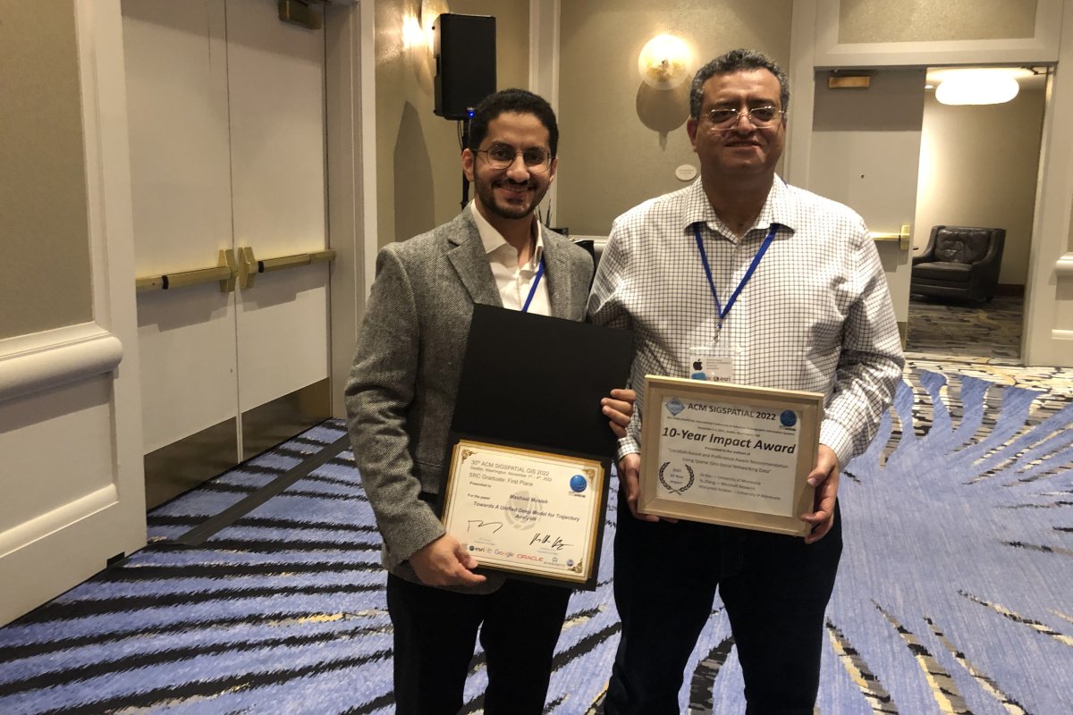
Department of Computer Science & Engineering Ph.D. student Mashaal Musleh won the Student Research Competition at the Association for Computer Machinery Special Interest Group on Spatial Information (ACM SIGSPATIAL), a top conference for spatial computing. Working with Professor Mohamed Mokbel, his research is centered on addressing the issues of trajectory data. This is the third time a student from Mokbel’s research group has claimed this prestigious award, with Louai Alarabi earning the title in 2018 while Ibrahim Sabek won in 2019.
Originally from Yemen, Musleh began working with the University of Minnesota through a research group in Saudi Arabia at Umm al-Qura University where he was pursuing his undergraduate degree. After working closely with this research group, he decided to pursue further education at the University of Minnesota. During his time at the University, he continued his research journey while working towards his Ph.D. degree.
Musleh’s research focuses on trajectory data, which is a sequence of location data. One of the most common examples of location data in our digital world is information about where a vehicle has traveled. That data is very useful for a lot of applications like traffic prediction, navigation and routing, estimated time of arrival, and a lot of applications. However, trajectory data usually has computational problems, making it difficult to use the data properly for the predictions.
“There are a lot of problems with trajectory data, but they are being considered separately,” Musleh said. “My paper asked the question: why can't we look at all these problems together? Instead of treating those problems separately, we can come up with a unified solution to solve them all using one framework inspired by natural language processing.”
This work could positively impact many aspects of everyday life, including traffic forecasting, routing efficiency for taxi owners and drivers, and estimated time of arrival accuracy for ride-sharing, logistics, and delivery times. It can even be used for contract tracing with COVID-19 cases. Looking towards the future, Musleh hopes to improve the overall accuracy of maps.
“Can I make the maps that we have now more accurate? That includes having both accurate topography of roads, and accurate metadata such as speed limits, stop signs, travel directions and so on. So my very ultimate goal is to work towards having accurate maps.”