Professors Shekhar and Mokbel part of Institute Grant on Spatial Data Science for Arctic and Antarctic Regions
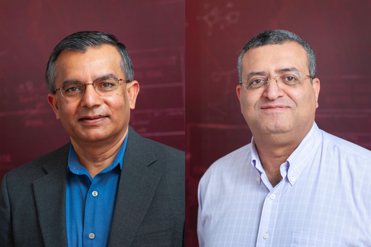
Department of Computer Science & Engineering professors Shashi Shekar and Mohamed Mokbel are members of a team awarded a $13 million dollar grant for improving understanding of polar regions. The award was granted last year by the National Science Foundation to establish the HDR Institute: HARP - Harnessing Data and Model Revolution in the Polar Regions, an institute centered around study of Arctic and Antarctic regions using data science, physical models and cyberinfrastructure. The goal is to inform policy decisions regarding impending impacts of changes in polar regions ranging from cold outbreaks to sea-level rise.
“We are the first data science and machine learning institute in the world that is dedicated to research in polar regions,” Shekhar states. "An important goal is to reduce uncertainty in projections for 21st century sea-level rise. Another goal is to study polar ice-impacted weather extreme events such as cold outbreaks, which are getting more extreme, more frequent and geographically more widespread.”
Climate change is drastically changing the world we live in today. Shekhar and Mokbel’s research uses spatial data science towards sharpening projection of the future damage that is likely due to climate change. One area of focus is sea levels. As ice caps melt and ice-shelves collapse due to climate change, ocean levels rise which can cause great damage to coastal towns and cities, especially with tides, storms and hurricanes. This puts 600 million people living in coastal areas at risk. Current projections for 21st century sea-level rise ranges from about a quarter meter to a meter worldwide and higher for the US coasts. This large uncertainty in sea-level rise projections affects policy decisions such as flood-risk maps and seawalls. Reducing the uncertainty can help make sharper flood-risk maps and inform choice of seawall heights to help populations in low-lying areas.
“Like a telescope-focusing knob, spatial data science can help reduce uncertainty by improving polar data, data science and scientific models,” Shekhar notes. “This institute is already exploring methods to improve maps of ice-sheet thickness and ice-bed topography using physics-informed deep learning to fill the gaps between direct measurements via air-borne ice-sheet penetrating radars.”
The institute has four main focus areas to accomplish their goals: (1) integrate heterogeneous, noisy, and discontinuous data in space and time; (2) assimilate data into numerical and geo-physical models; (3) develop spatial-temporal methods to forecast the changes in the Arctic and Antarctic; and (4) build scalable algorithms to apply the solution methods at planetary scale.
For more information on the project, read the full story from the initial award announcement.